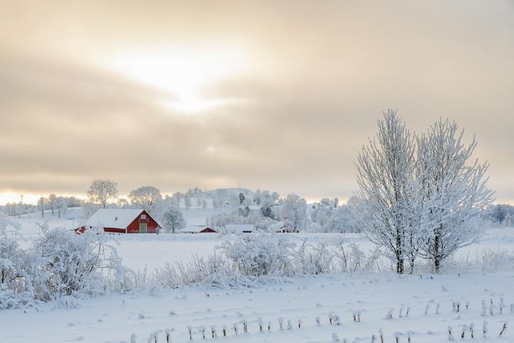
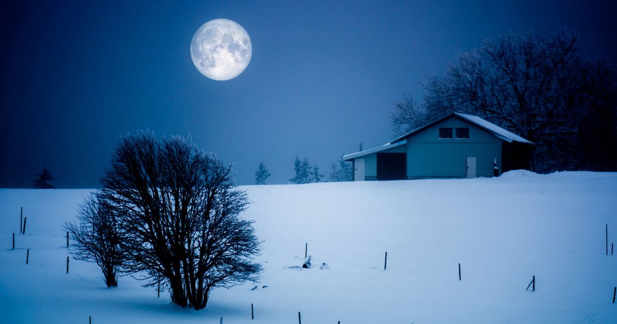
The Winter Solstice 2021 occurs on December 21, 2021 at 10:59 AM EST. It’s the shortest day of the year and the official beginning of astronomical winter.
In this excerpt from Harrowsmith’s Almanac 2022, meteorology expert Mark Sirois shares the winter weather highlights that each region in Canada can expect this season.

ATLANTIC PROVINCES, Region 1
Winter should be close to normal when it comes to precipitation and temperatures. Most of the storminess will be deflected to the south, due to a southerly flow of the northern branch of the jet stream, but there still should be a few decent storms in December and January.
QUEBEC, Region 2
Unlike last winter, the projected lack of a La Niña or El Niño influence will keep the coming winter colder than normal. Although the early part of December should bring some mixed precipitation, we should see a drier pattern develop, as the polar jet stream should keep most storm systems toward the south. There will be a couple of chances for heavy snow in late December and January in the southern part of the province. Up north, precipitation should be closer to average.
ONTARIO, Region 3
A colder-than-normal winter can be expected for the entire province, as a constant northwesterly flow should persist until spring. Snowfall should be near normal over the northern and western parts of the province, but areas adjacent to the Great Lakes should see above-normal precipitation, especially between late January and late March.
THE PRAIRIES, Region 4
Expect colder-than-normal temperatures throughout the season. Alberta may be the one province with closer-to-normal temperatures, but it should also be the stormiest, as the polar jet should be blasting through the province most of the season. Precipitation levels should be normal to slightly below normal for the rest of the provinces.
BRITISH COLUMBIA, Region 5
Temperatures should be slightly below average. The coldest part of the province should likely be the most northeasterly areas. Precipitation inland will be normal or slightly below normal, but areas along the coast should see drier than-normal conditions, despite a few periods of sporadic heavy rain. The stormiest and snowiest areas should be along the Alberta border.
YUKON & WESTERN NORTHWEST TERRITORIES, Region 6
Expect conditions colder than normal for the entirety of the region, although the harshest temperatures should be in Yukon. Precipitation levels should be higher over eastern Yukon and the most western parts of the territories, as the polar jet should be ripping through that region. The more western parts of Yukon should see closer-to-normal precipitation.
EASTERN NORTHWEST TERRITORIES & NUNAVUT, Region 7
Temperatures should be slightly below normal, yet the more western parts should see the harshest winter temperatures. Precipitation levels should be close to normal or even slightly lower than normal the farther east you go.
Harrowsmith’s Almanac is written by Canadians for Canadians. This highly popular annual is available nationally on newsstands and by subscription. It’s a 250+ page resource for all Canadians who source expert weather and climate predictions and night sky events for the coming year. For generations, Canadians have trusted Harrowsmith’s Almanac as their guide for when to plant their crops and flower beds. Subscribe to Harrowsmith magazine and receive Harrowsmith’s Almanac each fall.
Mark Sirois is a managing partner at Kyndryl by day and a long-range meteorologist whenever he can fit it in his free time. His passion for meteorology started at age 15, and for the last 35 years, he has developed a multifaceted approach to long-range forecasting. His frustrations with the way Canadian mainstream media broadcasts weather information led him to create an alternative option to those in southern Quebec. Since 2007, he has offered severe and long-range forecasts through the Southern Quebec Severe Weather Network on Facebook; but since 2022, he now provides daily, weekly and seasonal forecasts for Quebec as The Weather Whisperer via patreon.com/TheWeatherWhisperer.

